Choose a current base plan and show boundaries
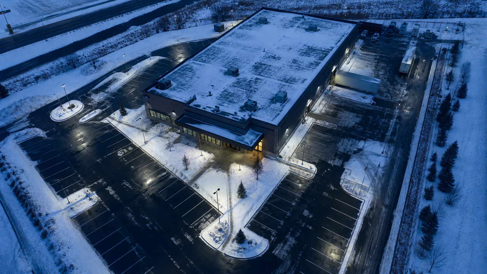
Begin with a legible aerial image, survey excerpt or property plan that reflects the current layout. Show the private property limit and label any shared access or neighbouring area whose responsibility is uncertain. Add the civic address, north arrow, revision date and map owner. The City of Prince George provides public mapping resources, but municipal map layers are context and do not prove private ownership or contract responsibility. Verify boundaries and access rights through the appropriate property records and qualified advice before turning them into service instructions.
Create a simple priority legend
Use a small number of priority levels that staff and service contacts can understand quickly. A first-priority group might include the primary entrance, a critical pedestrian connection or an operational lane needed before opening. Later groups can cover secondary parking, overflow areas or locations used only at certain times. Define what priority means: sequence, target readiness window or escalation importance. Avoid language that guarantees continuous clearance. A legend is useful only when the contract explains how continuing weather, blocked areas and changing operations affect the normal order.
Mark entrances and pedestrian connections
Show public entrances, staff doors, stairs, ramps, crosswalks between parking and doors, transit connections and any route the property has designated for continuous use. Record opening times and points where roof drainage, vehicle splash, packed snow or daytime melt create repeated concerns. WorkSafeBC identifies ice, water, clutter, uneven flooring and obstructed views among workplace slip and trip hazards. The responsible employer must assess the actual workplace; the map helps identify where observations and instructions need to be specific.
Protect fire access, loading and emergency movement
Identify marked fire lanes, hydrants, fire-department connections, ambulance access where applicable, loading docks, refuse areas and gates. Do not invent required clearances or declare compliance from the website. Instead, mark the known feature and require the property team to confirm its applicable access requirement. Note delivery windows and whether trailers, bins or parked vehicles block equipment movement. The objective is to prevent a routine stacking or plowing decision from occupying a route that the property has identified as operationally critical.
Map parking occupancy and clearing sequence
Divide large parking areas into zones that can be addressed while the property is occupied. Show staff, customer, visitor, fleet and accessible stalls as identified by the property, plus gates and one-way movement. Record when each zone is normally most available and who can request vehicles be moved. A phased plan may require an initial driving lane, followed by stall cleanup or relocation later. Do not assume off-site street parking is available; City winter parking restrictions can affect surrounding streets and should be checked separately when planning vehicle movement.
Map the connection from each designated accessible stall through its access aisle, any curb ramp and the route to the entrance as one clearing task. A stall can be cleared while the adjacent aisle or transition remains blocked by a windrow. Before winter, ask the property contact to identify those existing features and include them in the agreed zone schedule. Decide who clears and rechecks the connections, how an obstructing vehicle is reported, and who can authorize snow relocation if a pile blocks the route. Do not designate the marked access aisle or connecting path as a stacking area. Record an unresolved blockage against the map code and send it through the agreed escalation process. Confirm the property’s applicable accessibility requirements separately; this map does not certify compliance.
Identify fixed obstacles and equipment limits
Mark curbs, islands, wheel stops, bollards, light standards, low clearances, speed controls, utility cabinets, drains, landscape edges and surface transitions. Add seasonal objects such as temporary storage, construction fencing or patio structures. If a feature cannot be seen under snow, decide how it will be marked before winter. Note equipment access and turning restrictions without prescribing machinery from a desktop review. This layer supports safer estimate discussions and makes it easier to document why a particular area could not be addressed during an event.
Reserve storage without creating the next problem
Show primary and secondary stacking zones and label the features they must avoid. Consider sightlines at exits, pedestrian visibility, usable parking, drainage paths, hydrants, utility equipment and neighbouring property. Identify where meltwater could cross a travelled surface and refreeze. Estimate decisions should state how storage capacity is reviewed and what triggers relocation or hauling. The map should not prescribe a universal distance or promise that a location is safe; it should preserve the property-specific questions that need confirmation.
Version the map and connect it to the contract
Give the approved map a date and revision number, identify who approved it, and attach it to the scope. When a tenant, gate, traffic pattern or storage area changes, update the map and send the revision to every operational contact. Keep superseded versions so event records can be interpreted against the instructions in effect at the time. Reference the same zone codes in estimates, communications and logs. A map that lives only in an email attachment or has no owner will quickly diverge from the property.
Prince George publishes official civic maps, including municipal snow-removal priorities. Use those resources for public context only; verify ownership, private boundaries, access rights and property instructions through the appropriate records and responsible parties.
City of Prince George — Featured Maps · City of Prince George — Snow Clearing · CCOHS — Outdoor-area inspection checklist · Canada — Accessible parking layout example
City sources reviewed September 22, 2026; the additional CCOHS and Canada accessible-parking references reviewed October 12, 2026. Confirm current requirements for the exact property and proposed scope.